Applying conditional formatting to a measure on a geomap

You can apply conditional formatting to geomaps using BQL and IF/ELSE IF/ELSE syntax and color. This applies to any layer type.

This example uses the heatmap layer type:

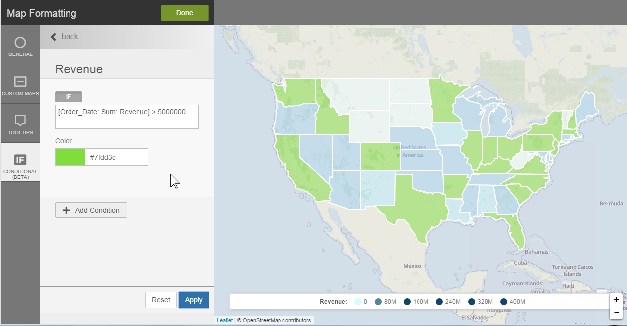
  1. Click Map Formatting.
  2. Click Conditional.
  3. Select the measure.
  4. Enter the BQL expression for the condition. See Supported Functions and Operators in Visualizer Expressions.
    Note: The BQL expression can be any expression that you like and it does not have to include the measure of the layer.
  5. Select the color to apply when the condition is met.
  6. Click Apply to preview the geomap conditional formatting.

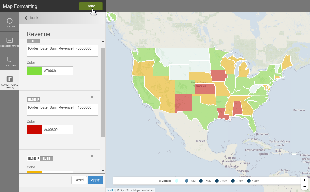
  7. Optionally, add another condition.

  8. Click Done.
Note: 
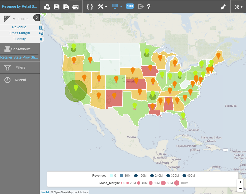
  • Overlay measures and apply conditional formatting to each for a more interesting visualization.
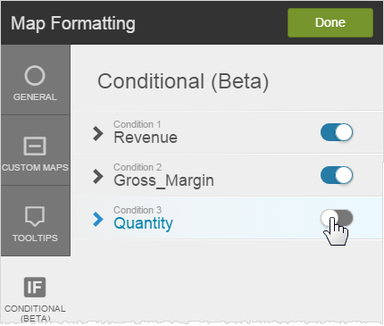
  • You can switch conditional formats on and off in the Map Formatting > Conditional tab.