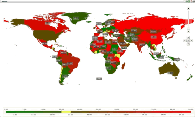
geo map, geomap
A chart that provides visualization of geographic related data. Birst provides interactive geo maps of the world, its continents, countries and the states of the USA. Regions on a geomap are colored according to the values of a given measure. Geomaps can be configured to drill from a region to another dashboard page. Geographic locations based on latitude and longitude data can be overlaid on a geomap using either a scatter plot or bubble chart.
Example of a Designer Geomap: